Image Data
1.위성이미지의 A-Z
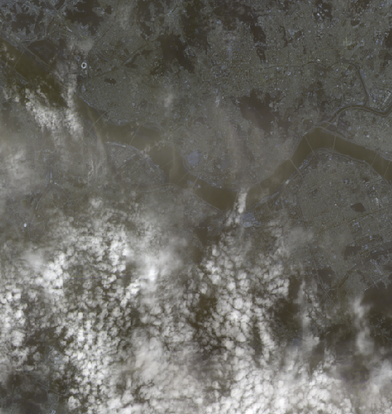
https://www.aitimes.kr/news/articleView.html?idxno=13857https://www.aitimes.com/news/articleView.html?idxno=139875지구와의 거리 저 중 고 거리가 가까운 인공위성
2024년 5월 2일
2.Landsat 데이터

위성이미지 다운로드 https://earthexplorer.usgs.gov/ 2008년부터 USGS 아카이브에 보관된 Landsat 레벨 1 데이터와 레벨 2 및 레벨 3 과학 제품을 다양한 데이터 포털에서 무료로 다운로드 가능 아래 페이지에서는 Landsat 데이터
2024년 5월 2일
3.정사이미지 활용하기
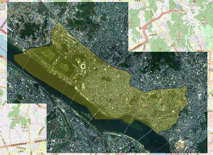
수치지형도 활용하여 정사이미지에 좌표 정보 부여하기 다음 사이트 참고 https://wooden-door-787.notion.site/QGIS-1ee4eb2fbd0e4b0e88b85e47b086406f https://foss4g.tistory.com/1692 정사영상
2024년 5월 13일