먼저 docker를 실행시켜야한다.
컨테이너 postgis-db-1로 접속
docker exec -it postgis-db-1 bashcd를 이용하여 geojson파일이 있는 melbourne 폴더로 이동한다.
$cd home/Melbourne$ls 를 이용하여 파일 확인

ogr2ogr를 이용하여 melbourne schema에 데이터를 넣어준다. (lga = suburbs)
$ ogr2ogr PG:"dbname=gisdb user=postgres" "lga.geojson" -nln melbourne.suburbs -overwritedbeaver를 이용하여 확인 가능
(파일속 cafe,fuel,meshblock,roads.geojson도 다 넣어주었다)
select * from melbourne.suburbs s ;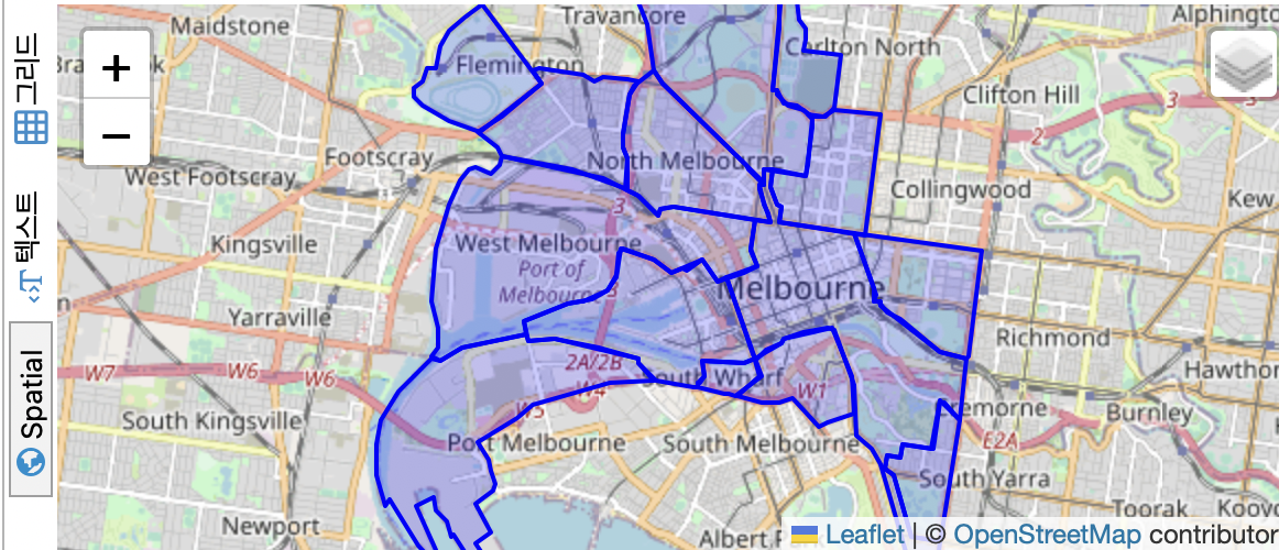
suburbs를 확인가능
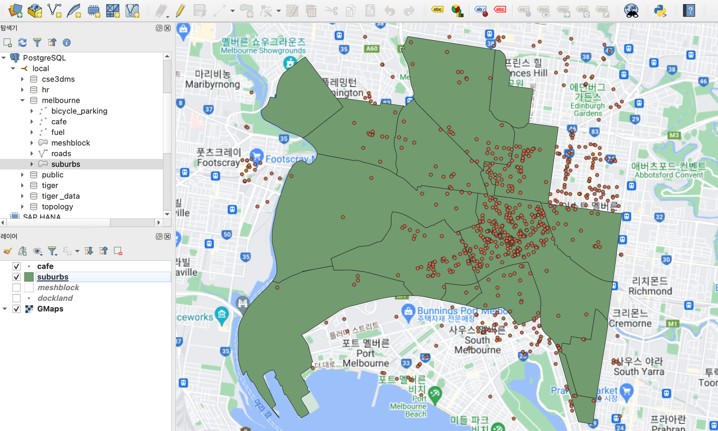
QGIS를 이용하여서도 보자

suburbs확인가능!
왼쪽아래표에서 위에 있을수록 지도에서 위에 보여진다.

이것저것 해보기